The Giant's Causeway
Co Antrim
Northern Ireland
Distance 8km Climb 235m
Saturday 25 January 2020
Arriving in the carpark I walked through the tunnel avoiding the National Trust fee for going through the gift shop. There is a direct route you can walk or you can take a bus down to the Giant's Causeway.
I however wanted to have a look around, so after a look at the map on the board I took the steps up onto the top and turned left to follow the red route along the top of the cliffs.
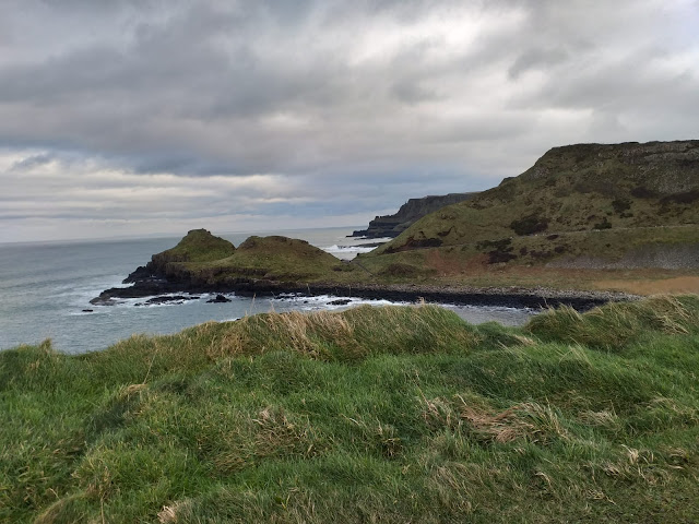
Approaching Weir's Snout.
Details show this is Port Ganny and I continued to Aird Snout which lies above The Causeway. It was cold up here and there was a very strong wind.
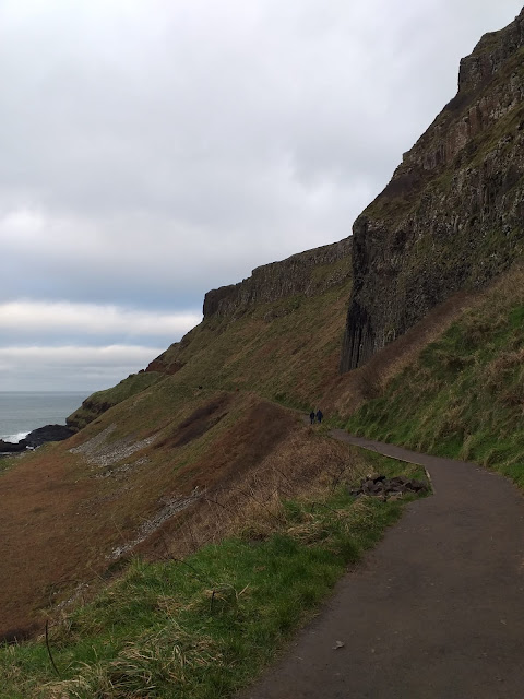
At the top of the Shepard's Steps I continued along the cliff path, I was now on the yellow trail. I would return to the Shepard's Steps later. Looking down I was above Port Noffer,
Walking the cliff path above The Amphitheatre I was above the Giant's Chimneys.
After a few photos I turned back and headed towards the Shephard's Steps.
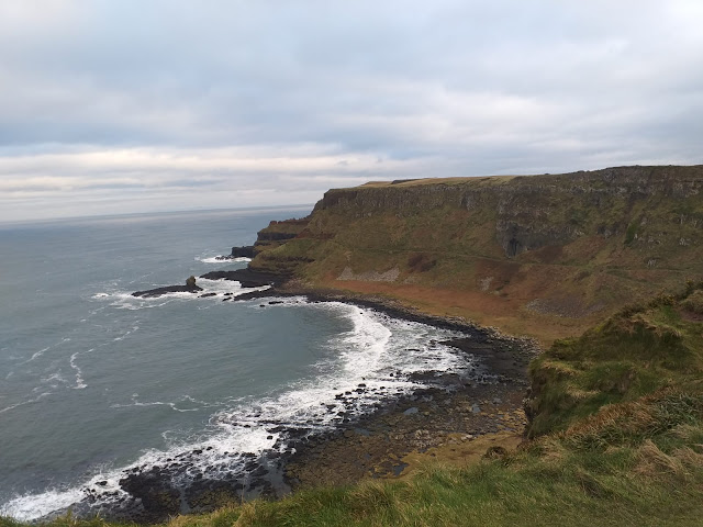
This is the view down onto Port Noffer and The Causeway, with The Stookans a little further up.
The view from the top of the Shepard's Steps.
I am sure I read somewhere that the stone in the sea at the bottom of the cliff is The Giant's Granny?
At the bottom of the Steps I continued along the path round the bottom of the cliff. Passed The Organ.
Through the doorway.
Into The Amphitheatre and could see why the path was closed. A mass of rockfall and landslide had taken away a large section of the path.
After more photos I turned around.
Back through the doorway and into Port Noffer.
Following the path back passed The Organ and I can see why it is called The Organ.
Following the path round towards The Causeway.
I had only seen two people on the cliff paths. About four or five near the closed footpath. This is where everyone was.
People were standing queuing to sit on the stones for photos and selfies. It was amazing seeing the hexagonal stones.
The waves looked and sounded massive in the cold Atlantic. I wondered how my friend was getting on with his surfing.
Looking up towards Aird Snout.
After taking even more photos I followed the road as it headed back to the top.
Walking up to pass The Stookans.
Walking from Portnaboe, a large stone is called the camel. I couldn't see it at the time but I can see it now in my photos. With Runkerry Head the massive cliff behind.
At the top of the road, I climbed the steps above the visitor centre as I had earlier. This time I turned right and walked the green trail. Passed the Causeway Hotel.
Along the top of Runkerry Head.
Looking eastwards I could see Portrush in the distance and hear the impact of the waves crashing on the cliffs below.
After more photos I returned towards the visitor centre. A last look at The Stookins, The Causeway through the gap and the Giant's Chimneys.
Back near the carpark I only had a few minutes to wait for my friend.
An interesting place, I will have to bring Anne here sometime. With my wandering around I had walked 8km and climbed 235m. From the visitor centre there is a direct route to The Causeway which is not as far as I walked or you could get a bus.
Thanks to my friends for a lovely day.
More to follow
Boz North
Details correct at time of walking.
Follow link to my previous walk in Northern Ireland. Magilligan Point to Mussenden Temple.
Follow link to my next walk in Northern Ireland. Lagan Towpath, Lisburn to Belfast.
Follow link to my previous walk in Northern Ireland. Magilligan Point to Mussenden Temple.
Follow link to my next walk in Northern Ireland. Lagan Towpath, Lisburn to Belfast.


No comments:
Post a Comment