English Coastal Path
Roker Pier to Seaham and return
Tyne and Wear to Co Durham
Distance 30km
Thursday 29 December 2016
A number of people were walking and standing around Roker Pier and the beach, all waiting for the sunrise. I took a good photo of a sunrise the other day, you can check it out by following the link to my walk South Shields to Roker Pier.
From the Roker Pier I headed south down Marine Walk to the start of the North Pier.

Passing the Yacht Club I was at the North Pier, I turned west and followed the walkway along by the River Wear.


I passed the marina, and realised I was following the signs marked ECP, (English Coastal Path).

This took me down by the National Glass Centre and the University of Sunderland. It was along here a number of years ago my brother David and I had an opportunity to do some rowing, but I cannot remember the exact place.

Continuing by the river I followed the ECP signs up a road to the Wearmouth Bridge.


After crossing the bridge I walked back down towards the river on the south side of the river and headed east along the southern bank.

You can see how low the river is, compare this with photos later down the post.

The path leaves the river by the Fish Quay and climbs up a grassy bank joining the High Street. A little along the High Street the ECP turns sharp right and the path runs between houses to come out at the Town Moor.

I continued south by a wall by the Town Moor and came out at an industrial area. I had missed the ECP sign across the Moor, but it didn't matter. Continuing in a southerly direction I came out of the area onto Commercial Road Hendon. Where I found I was back on the ECP and followed the sign left down a road, under a railway bridge, signposted to Hendon Beach.

This was interesting, all new to me, a great walk. At the beach the ECP signs go on the high path, while I walked down to the promenade. The tide was out, a number of dog walkers were out on the beach. In places there was ice on the promenade making it slippery, so I had to take care. The air was cold and the weak sun was not clearing the frost. Fortunately the wind was a lot calmer than it had been the other day.

At the end of the promenade I considered walking the beach and rocks below the cliffs however the seaweed on the slipway was slippery and I did not knowing how far there was to walk before I would reach the next path from the beach, so I decided to walk along the tops. I walked back along the promenade a few hundred meters to a path that took me to the top. It is an easy climb to the tops and I re-joined the ECP.

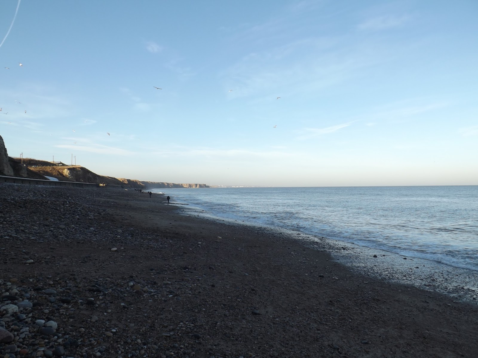
The ECP follows near the cliff edge, the path gently twists and turns south. Nearly each turn provided a brilliant view of the rocks and beaches below, up and down the coast.

The path moves off the coast as it turns inland around a small dean and crosses a path that runs from Ryhope Village to the beach. The ECP moves east again on the top joining the coast on Halliwell Banks and continues south. After about 1 km the path moves west from the coast again along the north side of Ryhope Dene. Joining the road B1287, passing the County Durham border sign, after approx 50m the footpath turns left down a few broken steps to follow the top south edge of the dene. Back on the coast the path continues along the top of the cliff, the path drops down to cross a stream. On the other side after a short climb the path joins a set of steps that lead from the beach to a car park. Walking down onto the beach I continued along the beach.
In the past glass factories in the area, tipped spoilt glass straight into the sea off the coast here. Now it gets washed up on the beach, people pick it up, some make jewellery out of it. A number of people were out today all along the beach picking pieces of glass. Although this was the first time I have walked along to here, we have had the bairns here a few times, treasure hunting.

I collected a few pieces as I walked along the stones and pebbles. I walked as far as I could on the beach before moving up onto the promenade.

I walked the promenade, looking to see if I could walk around the coastal rocks. No, I had to walk back along the promenade and took some steps up to the park that runs by North Road.

Following the path back down to the next inlet, where the HM Coastguard were practicing their drills. I looked at finding a way down to the beach. There looked like a path but I found the rocks were slippery only after I slipped and fell on them. So returned back up the bank to North Road I followed it around to North Terrace, I was glad I had to come this way as this was where I saw the famous War Memorial.

From the North Terrace I turned left at the roundabout and followed the road down towards Seaham marina. It looked interesting here so after a little wander about and a few photos I returned back up the steep bank to the roundabout.

I would have liked to walk the pier but there is a notice showing only members of the Seaham angling club have access.

Back at the roundabout I checked the time and saw I had time to go a little further south. I passed the docks and continued up the gentle incline. At the top of the incline, where the road turns down towards Nose's Point, I stopped and had my sandwiches.

After my sandwiches it was now time to turn and head back.


On my way, I dropped back down to glass beach to walk along and picked up a bit more treasure, the washed up glass. The tide was starting to come in now. I was returning north the way I had come south along the ECP.
On the B1287 crossing the County Durham to Tyne and Wear border the sign welcomed me to Sunderland.


Coming back along the tops I saw a couple of lads fishing from the top. On my walk south I did not think the tide would have come this far in.

There were loads of people on Hendon promenade now, mostly fishing. I followed the ECP across the top, back to the road passing under the railway bridge and at the top of the road turned right onto Commercial Road Hendon. I followed the ECP sign all the way back. Along here I met my friend Stan who I had not seen for a long time. Which made a brilliant day even better.
I followed the ECP signs that took me back on the Town Moor.

Down the road between houses, then left onto the High Street and down the bank, passed the fish quay onto the river side. Up to Wearmouth bridge and down the steps on the other side. Lads were fishing from both sides of the river. Compare how low the river was on earlier photos in this post.


As I passed the National Glass Centre, there was still enough light, so I thought I would walk around the back and have a quick look at St Peters Church, Monkwearmouth Abbey. This is the site of a twin monastery with the Monastery at St Pauls Jarrow.

Returning back to the river I followed the ECP sign back to the marina where I turned to follow the alternative ECP route sign back to Roker beach. Reaching the end of the C2C marker just as the light was fading.

It had been a good walk, I had covered approx. 30km.
More to follow
Boz North
Details correct at time of walking.
If you have enjoyed reading my walk or found it useful you may also like to read other walks I have done on The English Coastal Path or other areas. Please check out the links on the right hand side.
Follow link to walk from South Shields to Roker Pier. 23 December 2016.
Follow link to walk from Seaham to Blackhall Rocks. 12 July 2017.
No comments:
Post a Comment