Hartside to Hedgehope Hill via Threestoneburn Wood and return
Northumberland
Distance 21.5km Climb 876m
Monday 13 March 2017
I left the car on the side of the road near Hartside and walked east down the road. Walking down the road it was warm and a gentle breeze was on my back. The road drops down to Greensidehill (200m), where just passed the house a footpath sign is on the left.

Crossing the style on the left, I headed north towards the far east side of Dunmoor Hill at the very bottom of Cunyan Crags.

I knew from previous walks in the area that a lot of the wood was being harvested in Threestoneburn Wood. Reaching the fence on the south east corner of Threestoneburn Wood I could see just how much of the wood had been cleared.

I continued north over the style following a line of what was shown on my map as a footpath.

This joined a forest track. The track in places had a large number of deer tracks. I could hear loads of bird activity, lapwings were crying, flying and diving. Grouse were bak bak bak..ing.

Then a trio of geese flew around me, honking. I think they were Bean Geese.


The top of Hedgehope Hill came into view to my west.

At the top of the track a new fence has been built, crossing a style I headed down towards the footbridge to the left, west of Threestoneburn House.

Over the footbridge I headed towards a stone circle. This is mentioned in detail as a Bronze Age stone circle in one of the walks on the Cheviot Walks website.


From the stones I headed back to the track and walked north west on the track as it climbs through the wood.

Reaching the northern edge of Threestoneburn Wood I turned west to follow along the wood line. After a few meters I saw a roe deer, I was down wind and it had not seen me. Quietly I stood still, fascinated. I was trying to remove my camera from its case without making a sound or any sudden movement, when she looked up and was gone in the blink of an eye.

Disappointed in not getting a photo of the deer I continued up the fence line, up and down the couple of climbs and drops to Kelpie Strand.

Looking down from Kelpie Strand.

I was soon on the steep climb, zigzagging my way in places. The views where stunning looking back down Hartburn. Near the summit I could feel the force of a strong cold wind. I had been sheltered in the main by walking up the leeward side of Hedgehope Hill.

At the top of Hedgehope Hill (714m), in the shelter of the stones I had a cup of tea and a sandwich. The views were stunning. Due to the forest being clear in places I could see part of my route across Threestoneburn Wood.
Leaving the shelter of the stones I headed westerly along the fence line with the full force of a cold wind directly in my face.

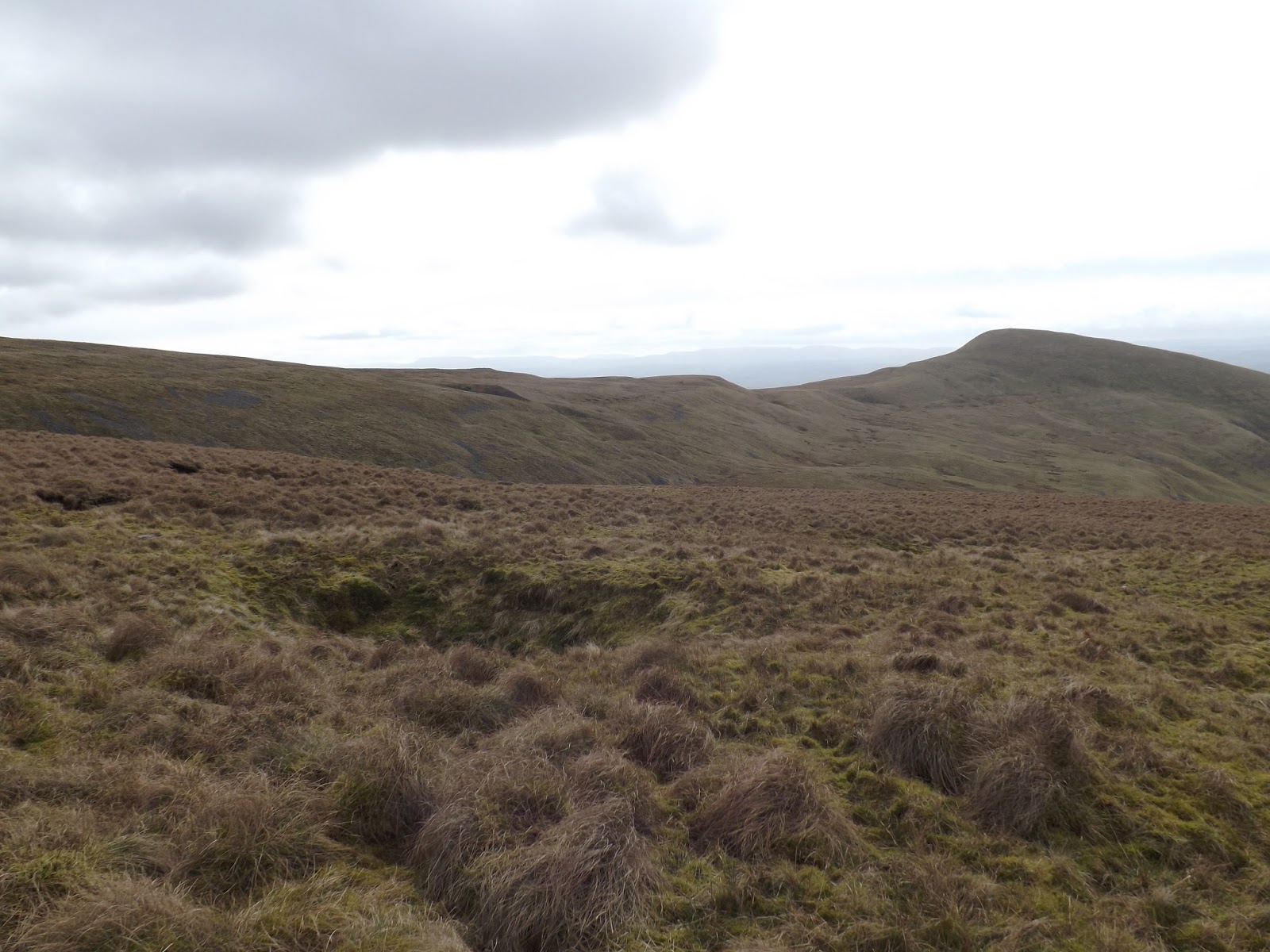
I knew the way to Comb Fell would be very wet as I danced my way around deep bog, marsh and deep looking puddles. I passed the area where they are still trying out a mesh as a conservation trial on the eastern approach slope of Comb Fell (652m).

At the fence junction, I checked the time I had left, to see if I had any time to go further. I made the decision to drop down, south to Coldlaw Cairn.

From Coldlaw Cairn (610m) there were stunning views all around. From here I could see a route where I would like to walk on another time I was in the area.

Dropping down off the top, I found a little shelter and had more tea and another sandwich. It was so lovely and peaceful sitting here.
After my break, I continued south, south east by a new fence, disturbing the odd grouse.


At the path junction just below High Cantle, I stopped again to check time and distance. Again I would have liked to go on but made the decision to turn east and follow the path across to Rig Cairn (460m).

To my left, north, I could drop down and follow Linhope Burn. Great Standrop stood high to my left with Hedgehope Hill behind. Further left, north west was Comb Fell.
To my right, south, I could drop down to the River Breamish. Shill Moor stood high to my right.

I continued east heading to the north side of Ritto Hill. Where I crossed a style before dropping down a grass track towards a small wood.

Reaching the edge of the wood I turned south east and followed a track around to Linhope. It was warm again in the shelter of the trees and hills.

As the track moves round the wood I could see the road climbing as it leaves Linhope. Daffodils were growing in the shelter of the trees.

Moving from the track to a road at Linhope the road crosses over Linhope Burn before starting to climb. Snowdrops sat in the sun by the side of the road. The road follows east the edge of a wood with large rhododendron bushes. From the top of the climb the road levels between open fields as it approaches Hartside.

Passed the front of the farm a few hundred meters to the side of the road where I had parked my car. It has been another good walk, I was tired now. I had covered 21.5km with 876m climb.
More to follow
Boz North
Details correct at time of walking.
If you have enjoyed reading my walk or found it useful you may also like to read other walks I have done in Northumberland or other areas. Please check out the links on the right hand side.
Follow link to a previous walk up Hedgehope and across Comb Fell.