Hadrian's Wall Path with Bourne Coffee Company - Day 2
Carlisle to Greenhead
Distance 33.5km
Tuesday 28th May 2013
We drove into Carlisle to start our walk from where we had finished the day before. After a quick photo or two we set off on The Path down by the river.
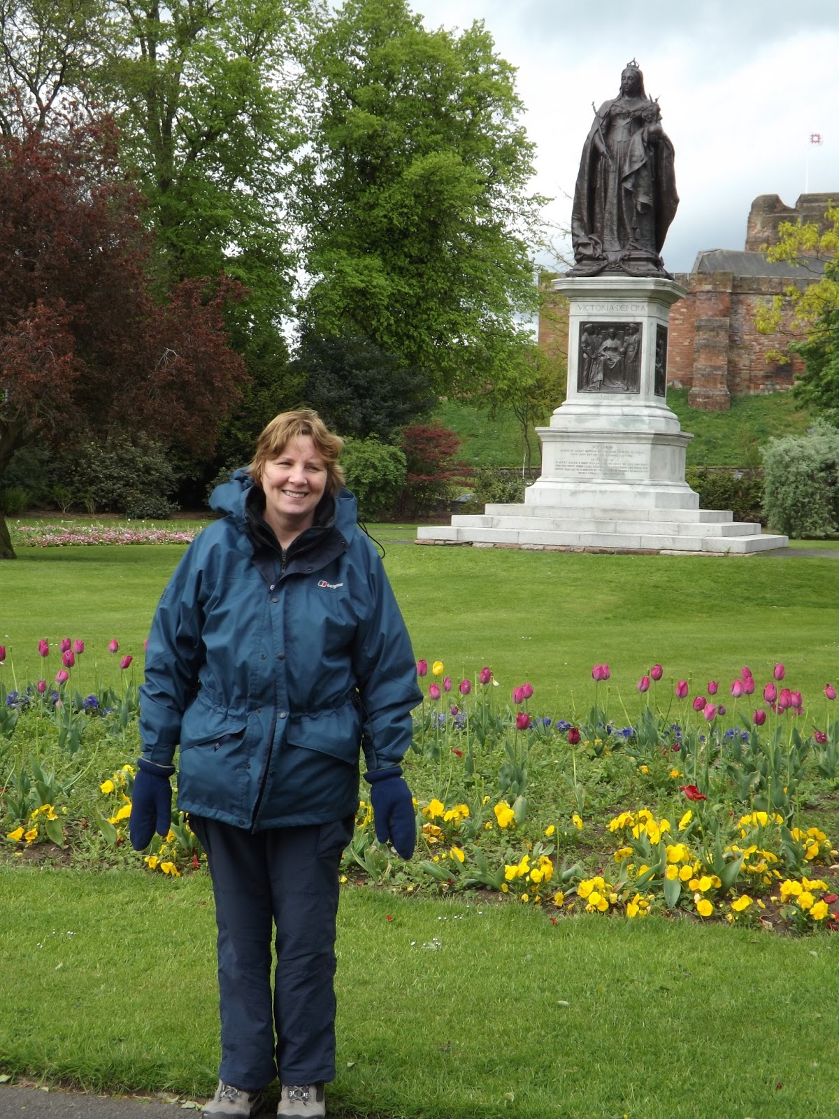 |
| Her Royal Highness and Queen Victoria |
 |
| Memorial Bridge |

The Path crosses a narrow road and stream before turning right, north east, and follows beside the road towards Rickerby. Along here we passed a couple of interesting features. The guide show that they belonged to a gentleman called George Head Head. He had a gatehouse with a coat of arms showing "Study Quiet".

George Head Head also had a tower built in the middle of a field. Apparently he had it built at a time when folly building was very popular.

Passing through Rickerby we stay on the road and continue north east over the M6 then into Linstock.
 |
| M6 |
 |
| Low Crosby school |
 |
| Low Crosby church |

On the way the Path crossed fields and farms, and we walked by a row of houses at Newtown. We crossed the road and continued north east behind a barn to a short rise. From which the views were brilliant.

We had a short steep climb, with a turn left, and we then turned right down a track. Still following the acorn sign we then turned into a small wood, after crossing a small stream we walked through an area of bluebells.


After the beautiful bluebells we then walk by a fence into the small town of Walton, which is where we had arranged to meet up with Susan. According to the guide in Walton there is an inn called the Centurion Inn, however everyone we spoke to could not find it. However there was a lovely tea shop near the school.

After a break and a spot of lunch we walked back through the village and headed back on The Path. We were travelling almost directly east now along the road before we had a little move off the direct line, around a road and fence line before joining the route of the Wall again on a grassy path. Then we started a little climb up and down as we continued east.

Coming down the bank we passed a real part of the Wall at Hare Hill. I had previously heard that many Romans had scratched or carved graffiti onto the Wall. So I had a look and I think I saw some. One looked like a pin man and another a face. Anyway have a look below and see what you think.

 |
| Can you see a pin man? |
 |
| Can you see a face? |

From the signal station we continue east.
 |
| View from the signal station looking east |
 |
| An old Roman tractor |
Leaving Birdoswald we continued east along the Wall, Susan joined us for a short spell before returning to the car park. We were now at the remains of milecastle 49 and the view south was brilliant.

From the milecastle the route travels down hill, south, then turns east towards the stream. Across the stream there is an artists impression of what they think the bridge here would have looked like. There is now a little climb to the top of a bank from where agin the views are stunning.
 |
| Anne and David at the edge of where the bridge would be |
 |
| Me and David at the top of the bank, view looking west |
 |
| The route of the Wall from the path to the railway line |
 |
| Thirlwall Castle in the dip with tomorrows route going up hill in the distance |

Susan was already there so after a short rest we went to The Greenhead Hotel for our dinner. I had stopped at The Greenhead Hotel for a meal a few times before and found the food very good.
Today we had covered approx 20.8 miles (33.5km) according to the guide, in approx 9 hrs including rests.
More to follow
Boz North
Details correct at time of walking.
If you have enjoyed reading my walk or found it useful you may also like to read other walks I have done on The Hadrian Wall Path or other areas. Please check out the links on the right hand side.
Follow link to previous - Day 1 Bowness on Solway to Carlisle
Follow link to next - Day 3 Greenhead to Wall
The Bourne Coffee Company previously Caer Urfa Coffee Company.
No comments:
Post a Comment